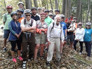
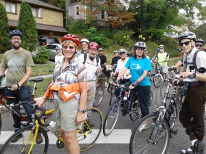
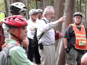
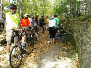
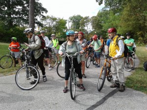
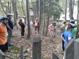
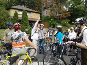
Ghost Stream Bicycle Ride Featuring the Dugway Brooks: Sunday October 8th. As part of the Fall 2017 local history lectures, Dr. Roy Larick (local author and archaeologist) led a group of 20 plus enthusiasts (and one dog travelling via bicycle basket) around the Heights searching for the above ground pieces of the east and west Dugway Brooks.
Leisurely peddling and coasting through the Indian Summer sunshine, the hardy group traced the winding path of the Dugways (east and west branches) through Cleveland Heights and University Heights neighborhoods. Both stream are mostly buried, but their courses can be followed under city streets. The east branch runs under Washington Blvd. and Cain Park, and surfaces in Cumberland Park and goes into Forest Hill Park. The west branch runs under Meadowbrook and along Coventry Road. It surfaces in Lake View Cemetery, and onward.
We learned that on the Heights, the Dugways drain some of the Portage Escarpment (part of the Appalachian highlands) down into Lake Erie. The two branches merge in Glenville, to flow as one stream through Bratenahl to the lake. Other important Heights streams are Doan Brook (think of the Shaker Lakes), and Nine Mile (think of Noble and Belvoir). We also learned about the natural geology, the local history, and the consequence of human tampering with the streams.
The deep ground beneath our feet is made up of layers of shale and rock laid down by geological forces during ancient times. You can see the horizontal stripes of these layers by walking down into a ravine and glancing up along its sides. These layers include the Cuyahoga shale, Berea Sandstone, and Euclid Bluestone in our area. They were laid down from organic matter, mud, silt, and sand during the late Devonian Period about 360 million years ago. At this time our area was still at the bottom of a warm, shallow, (equatorial) ancient sea. About 200 million years ago the land was pushed upward out of the oceans. During the later part of the last ice age cycle (roughly around 14,500 years ago), the melting and receding glaciers scraped across the land leaving the huge boulders here and there. The intense rivers of water from the melt and rains carved creek channels and deep gullies.
About 200 years ago Moses Cleaveland and his surveyors arrived on the scene and marked out the northeast Ohio boundaries in the area’s dense, pristine forest. The settlers and farmers who arrived soon after found the ubiquitous creek branches useful and indespensible to their survival. They carved out the stone from the creek banks to build foundations for homes, barns, and other structures. They used the water power to churn the water wheels of their cider, grist, and saw mills. They drank from the fresh water springs pouring out from the creek banks all over (long before the availability of piped-in city water). Later, in the mid 1800’s the local quarry businesses were in full swing supplying stone for stately looking building, window sills, and sidewalks. The sandstone and bluestone from our neighborhood quarries were even shipped to places as far away as Detroit and Canada.
On the tour we visited the remains of the Coventry quarry and walked up the old the dirt guarry road (known now as the infamous Rock Court). The Coventry Road municipal parking garage sits in the space carved out long ago here by the tough quarry men. We also learned about the James Haycox quarry in Cain Park, now the location of the outdoor amphitheater. We also visited two important homes built in harmony with the creeks – the Curtiss-Preyer house, built with Native American help and from quarried stone of the creek that runs along Superior Road, and tbe Bramson House on East Overlook, made from creek stones, and reminiscent of the famous Frank Lloyd Wright’s “Falling Waters”
The end of the 1800’s saw the close of the farming era, and the quick wholesale transformation of the Heights into the suburbscape. In the process, the developers did mass levelling of the original land contours, and put great portions of the streams into culverted channels or beneath the ground in pipes. It was thought by the “modern minds” that the streams had become obsolete. The Creeks were inconveniently located in the way of their paper renderings of dream neighborhoods with crisscrossing streets and elbow to elbow new homes. Today the streams run under the roads (like Washington and Meadowbrook for example) and even under buildings and houses in the large pipes. It wasn’t understood then, as it is now, that the natural shape of the land, and the open creeks are so valuable. Not only for a drainage and filtering systems for rain water, but for needed habitat and biodiversity.
We also learned from Roy.Larick, more about the current problems and solutions for the aging watershed infrastructure of the suburbs. Such as how the sewer waste sometimes leaks or overflows into the separate storm (rain water) sewer system. The storm water runoff eventually makes it way directly into Lake Erie, and was not treated in the past. The storm water takes with it the contaminated runoff from the roads containing automobile oil and pollution, road salt, lawn pesticides and fertilizers, and even pet waste. In contrast, the human waste sewage gets carried separately to a plant to be treated, before the water is returned to the ecosystem.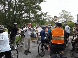

Future plans to better the creeks involve many entities. Individual cities, scientists (such as Dr. Larick) the Northeast Ohio Sewer District, businesses, activists and supporters from the community are all putting forth ideas and implementing successful projects, but there is a long way to go yet. ideas include connecting up fragmented green areas where possible, opening up old streambeds to the open air, building additional water storage tunnels to clean runoff water before it’s returned to Lake Erie (to comply with EPA guidelines), continuing to maintain separate sewage and storm sewers, and to get pet owners to clean up after their pets (to keep Dugway from becoming dungway). It would be great to see the stream living and breathing again, rather than only a mere “apparition” of its former self.
This history ride was sponsored by The Heights Libraries and co-sponsored by Bluestone Heights, Heights Bicycle Coalition, Cleveland Heights Historical Society, Doan Brook Watershed partnership and the City of Cleveland Heights Landmark Commission. Special thanks to Jim Miller who contributed to the history lecture, and who is a major activist for the bettering of our area streams!


Leave a Reply